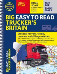
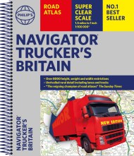
Philip’s Trucker’s Road Atlas of Britain

On sale
25th September 2017
Price: £14.99
PHILIP’S – THE ATLAS BRAND FOR TRUCKERS, CARAVANNERS AND OTHER SERIOUS ROAD USERS
“The best of its kind with quick and easy to use information” Fleet Week
– Essential for Truckers (and very useful for Caravanners too)
– Nearly 4,000 bridges with restrictions – either height, weight or width – located on the maps
– Super-clear maps of the UK at 1:200,000 (Northern Scotland 1:250,000)
– Special Feature: “Bridge Strikes” (including “Most Hit Bridges”, numbering approximately 50, which includes all bridges struck five or more time in a 12-month period
– Restricted Motorway Junctions explanatory list
– Truckstops listing and location maps, including facilities available and opening times
– Big format and spiral binding – easy-to-use on the road
– 12 pages of urban area maps with bridge restrictions
– Central London maps – with bridge restrictions