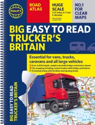
Philip’s Navigator Trucker’s Britain: Spiral
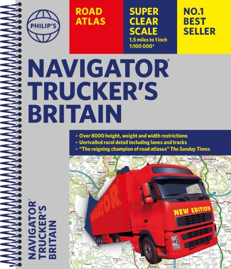
On sale
2nd March 2023
Price: £26.99
Reviews
Regarded as the UK's bestselling road atlas for anyone driving large vehicles.
A map that beats all others.
Scale, accuracy and clarity are without parallel.
No.1 in the UK for clear maps.