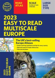
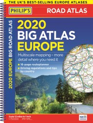
2020 Philip’s Complete Road Atlas Europe
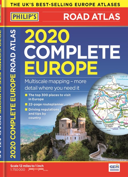
On sale
4th April 2019
Price: £14.99
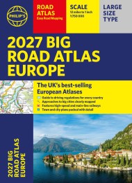
PHILIP’S: THE BEST-SELLING EUROPE ATLAS RANGE IN THE UK
Philip’s: the UK’s best-selling Europe Atlas range
The 300 greatest sights of Europe, plus Europe country-by-country special features
‘The clearest and most detailed maps of Europe’ David Williams MBE, CEO Gem Motoring Assist
Special feature for 2020 ‘Driving Abroad – avoiding the latest pitfalls’
Philip’s 2020 Complete Road Atlas Europe has:
– Special Travel Feature: The top 300 places to visit in Europe
– Maps every country in Europe and Western Europe
– Main scale super-clear 1:750,000 (12 miles to 1 inch)
– Three supplementary scales from 1:250,000 to 1:3M – helps navigation in denser areas
– Practical A4 format – easy to use in the car
– 50 town and city plans
– 31 urban area maps
– Scenic routes highlighted
– 22-page route planning map section with 1,200 miles to a page
– Driving regulations country-by-country on European roads and local roads
– Ski resorts feature
– Distance chart
– Fully indexed
In fact, everything you need for your trip to Europe.