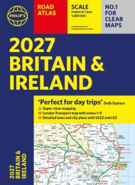
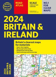
2025 Philip’s Road Atlas Britain and Ireland
On sale
6th June 2024
Price: £16.99
‘Good balance between detail and clarity with excellent town maps’ What Car?
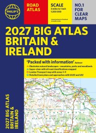
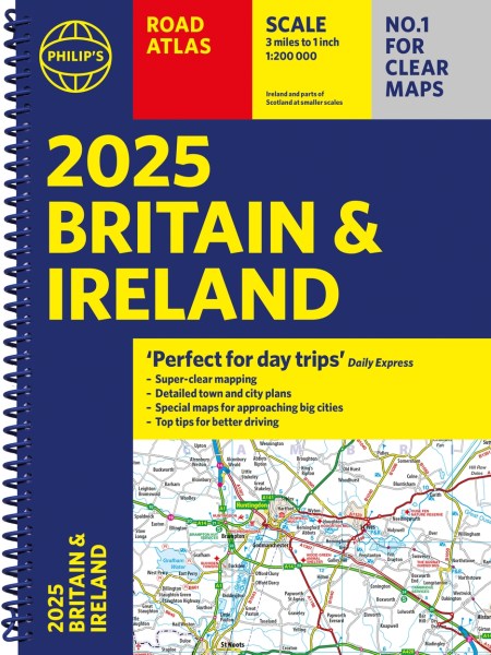
PHILIP’S – Market leader and No. 1 in the UK for clear maps 2025 Philip’s Road Atlas of Britain and Ireland is a top-of-the-range, A4-sized, spiral-bound atlas, featuring fully updated maps from the Philip’s digital database. Voted Britain’s clearest and most detailed in an independent consumer survey, the mapping is super-clear.
* 160 pages of fully updated super-clear road maps
* Top tips for better and safer driving and the easiest way to parallel park
* Detailed route-planning maps, to help plan your route in advance
* 88 fully indexed and detailed town-centre maps throughout the British Isles
* Major city approach maps with named arterial roads including the expanded London ULEZ
* Clear road map showing all of Ireland
* Mapping at a scale of 3 miles to 1 inch = 1:200,000 for easy use
* Handy lie-flat spiral format
This atlas contains 160 pages of road maps covering Britain at 3 miles to 1 inch, with the Western Isles, Orkney and Shetland at smaller scales. The maps clearly mark service areas, roundabouts and multi-level junctions, and in rural areas distinguish between roads over and under 4 metres wide.It also includes a 2-page road map of Ireland, 10 pages of route-planning maps, a distance table, 10 large-scale city approach maps with named arterial roads, and 88 extra-detailed and fully indexed town and city plans.
Wherever you are driving in Britain and Ireland, this is the ultimate road trip guide.
Reviews
Good balance between detail and clarity with excellent town maps
Perfect for day trips.
Good balance between detail and clarity with excellent town maps.