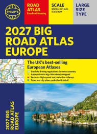
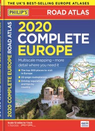
2020 Philip’s Big Road Atlas Europe

On sale
4th April 2019
Price: £14.99
PHILIP’S: THE BEST-SELLING EUROPE ATLAS RANGE IN THE UK
‘The clearest and most detailed maps of Europe’ David Williams MBE, CEO Gem Motoring Assist
‘The best of its kind with quick, easy-to-use information’ Fleet Week
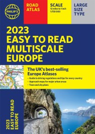
Multiscale mapping – more detail where you need it
Special feature for 2020 ‘Driving Abroad – avoiding the latest pitfalls’
Philip’s 2020 Big Road Atlas of Europe has:
– Maps of every country in Europe
– Practical A3 format and spiral binding – more mapping to the page
– 50 town and city plans
– 31 urban area maps
– Scenic routes highlighted
– Driving regulations country-by-country on European roads and local roads
– Ski resorts feature
– Main scale super-clear 1:750,000 (12 miles to 1 inch)
– 16-page route planning map section with 1,200 miles to a page
– Three supplementary scales from 1:200,000 to 1:3M – helps navigation in denser areas
– Distance chart
– Fully indexed
In fact, everything you need for your trip to Europe.
‘The clearest and most detailed maps of Europe’ David Williams MBE, CEO Gem Motoring Assist
‘The best of its kind with quick, easy-to-use information’ Fleet Week
Multiscale mapping – more detail where you need it
Special feature for 2020 ‘Driving Abroad – avoiding the latest pitfalls’
Philip’s 2020 Big Road Atlas of Europe has:
– Maps of every country in Europe
– Practical A3 format and spiral binding – more mapping to the page
– 50 town and city plans
– 31 urban area maps
– Scenic routes highlighted
– Driving regulations country-by-country on European roads and local roads
– Ski resorts feature
– Main scale super-clear 1:750,000 (12 miles to 1 inch)
– 16-page route planning map section with 1,200 miles to a page
– Three supplementary scales from 1:200,000 to 1:3M – helps navigation in denser areas
– Distance chart
– Fully indexed
In fact, everything you need for your trip to Europe.