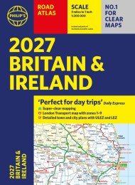
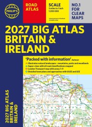
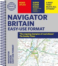
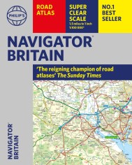
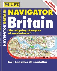
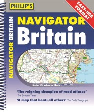
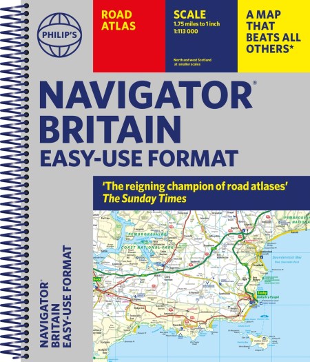
Philip’s Navigator Britain Easy Use Format
On sale
6th January 2022
Price: £19.99
With updated, super-clear, super-detailed mapping, and in a great lie-flat format, the Philip’s Navigator Britain Easy-Use Format ensures the Navigator remains unrivalled amongst British road atlases.
‘The reigning champion of Road Atlases’ The Sunday Times
‘Scale, accuracy and clarity are without parallel’ Driving Magazine
‘No.1 in the UK for clear maps’ Independent research survey
– Easy-to-Use Spiral Edition of the UK’s Best-selling Road Atlases – Philip’s Navigator
– Every street in Britain is marked on the maps and over 3000 roads named
– Exceptional road detail, from motorways to country lanes, with every junction, roundabout and slip-road shown
– Widely used by professional drivers and the emergency services, including national police training
– 100 indexed town-centre maps plus approaches maps to major urban areas
– Super-detailed 6-page route-planning section
– Thousands of individually named farms, houses and hamlets
– No other road atlas of Britain offers this level of detail and clarity
– Scale: 1.8 miles to 1 inch = 1:113,000 (Northern Scotland: 3.6 miles to 1 inch = 1:226,000)
Used by the emergency services and professional drivers, the Navigator range is market-leading best-in-class.