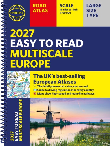
Philip’s 2027 Easy to Read Multiscale Road Atlas of Europe
On sale
21st April 2026
Price: £16.99
PHILIP’S: THE BEST-SELLING EUROPEAN ATLAS RANGE IN THE UK
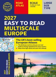
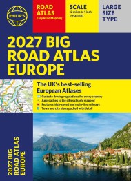
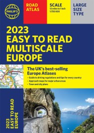
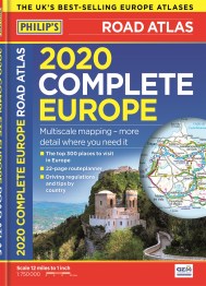
With the detail you need at a size you can read, the latest 2027 Philip’s Easy to Read Multiscale Road Atlas of Europe is the ultimate driving companion. Including the rules and regulations across Europe for easy driving, and the high speed network if you need to take to the train.
* Super-clear main scale at 1:750,000 (12 miles to 1 inch)
* Multiscale mapping with scales from 1:1.5M to 1:3M, showing more detail where you need it
* Clear mapping of every country in Europe and the driving rules and regulations
* Distance Chart and a 23-page route planning section included, for easy route planning across long distances
* Special mapping of canals and rivers for cruising and boating
* Spectacular scenic routes clearly highlighted
* Including Europe’s High-Speed and Main Line Rail Network to help plan long distance journeys with ease
‘The clearest and most detailed maps of Europe’ David Williams MBE, former CEO Gem Motoring Assist
‘The best of its kind with quick, easy-to-use information’ Fleet Week
Reviews
Well worth buying.
Great map for journey planning.
Good size, clear and easy to read.