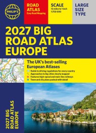
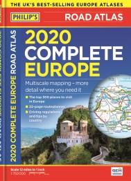
Philip’s 2027 Big Road Atlas of Europe
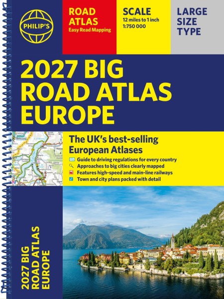
On sale
9th April 2026
Price: £15.99
PHILIP’S: THE BEST-SELLING EUROPEAN ATLAS RANGE IN THE UK with ‘The clearest and most detailed maps of Europe’ David Williams MBE, former CEO Gem Motoring Assist
‘The best of its kind with quick, easy-to-use information’ Fleet Week
‘The best of its kind with quick, easy-to-use information’ Fleet Week
- Super-clear, easy-to-read main scale mapping at 1:750,000 (12 miles to 1 inch)
- Extra pages with scales from 1:1.5M to 1:3M, showing more detail where you need it
- Clear mapping of every country in Europe with all the driving regulations for each one
- Easy-to-use large A3 format with large maps and large print place names
- 16-page route planning section, for easy route planning across long distances
- 50 town and city plans for easy navigation
- Over 30 urban area maps to help driving in denser areas
- Spectacular scenic routes clearly highlighted
- Times zones mapped across Europe
- Special mapping of rivers and canals for cruises and water-based travel
- Including mapping of Europe’s High-Speed and Main Line Rail Network to help plan long distance journeys
Using the most up-to-date mapping technology, this is the ultimate road companion for moving around Europe.
Reviews
The clearest and most detailed maps of Europe.
The best of its kind with quick, easy-to-use information.