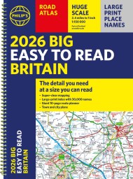
2023 Philip’s Road Atlas Britain and Ireland

On sale
2nd June 2022
Price: £12.99
PHILIP’S – The UK’s most trusted clear maps
‘Good balance between detail and clarity with excellent town maps’ What Car?
* Mapping at a scale of 3 miles to 1 inch = 1:200,000
* Philip’s: Britain’s clearest maps for motorists
* Completely updated and revised for 2023
* Smart Motorway sections included
– 160 pages of fully updated super-clear road maps
– 10 pages of detailed route-planning maps – plan your route in advance
– 88 indexed town-centre maps
– 14 pages of city approach maps with named arterial roads
– 2 page road map of Ireland
– Map of scenic Britain and a map highlighting railways, airports and ferry ports
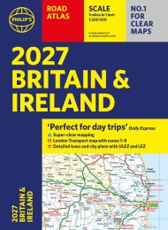
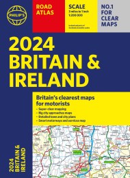
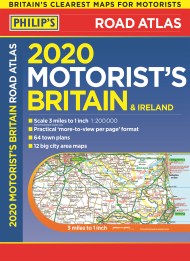
Philip’s 2023 Road Atlas Britain and Ireland is the top-of-the-range paperback road atlas featuring the latest maps from the Philip’s digital database. Voted Britain’s clearest and most detailed in an independent consumer survey, the mapping is super-clear.
Philip’s 2023 Road Atlas Britain and Ireland contains 160 pages of road maps covering Britain at 3 miles to 1 inch, with the Western Isles, Orkney and Shetland at smaller scales. The maps clearly mark service areas, roundabouts and multi-level junctions, and in rural areas distinguish between roads over and under 4 metres wide.
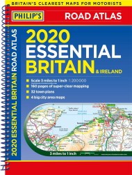
The atlas also includes a 2-page road map of Ireland, 10 pages of route-planning maps, a distance table, 10 large-scale city approach maps with named arterial roads, and 88 extra-detailed and fully indexed town and city plans.
‘Good balance between detail and clarity with excellent town maps’ What Car?
* Mapping at a scale of 3 miles to 1 inch = 1:200,000
* Philip’s: Britain’s clearest maps for motorists
* Completely updated and revised for 2023
* Smart Motorway sections included
– 160 pages of fully updated super-clear road maps
– 10 pages of detailed route-planning maps – plan your route in advance
– 88 indexed town-centre maps
– 14 pages of city approach maps with named arterial roads
– 2 page road map of Ireland
– Map of scenic Britain and a map highlighting railways, airports and ferry ports
Philip’s 2023 Road Atlas Britain and Ireland is the top-of-the-range paperback road atlas featuring the latest maps from the Philip’s digital database. Voted Britain’s clearest and most detailed in an independent consumer survey, the mapping is super-clear.
Philip’s 2023 Road Atlas Britain and Ireland contains 160 pages of road maps covering Britain at 3 miles to 1 inch, with the Western Isles, Orkney and Shetland at smaller scales. The maps clearly mark service areas, roundabouts and multi-level junctions, and in rural areas distinguish between roads over and under 4 metres wide.
The atlas also includes a 2-page road map of Ireland, 10 pages of route-planning maps, a distance table, 10 large-scale city approach maps with named arterial roads, and 88 extra-detailed and fully indexed town and city plans.