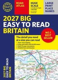
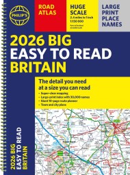
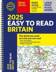
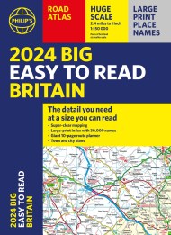
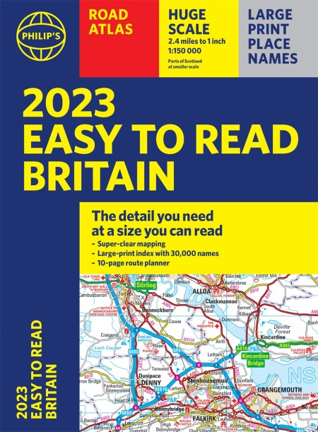
2023 Philip’s Easy to Read Road Atlas Britain
On sale
3rd March 2022
Price: £14.99
“The detail you need at a size you can read”. The newest 2023 Easy to Read Britain Road Atlas from Philip’s
– Large print maps
– Huge 1:150,000 scale (approx 2.4 miles to 1 inch)
– Large print place names
– Large print index
– Super-clear 10-page routeplanner
At last, a Road Atlas that everyone can read easily, in or out of the car, no matter what the conditions. Large scale maps, large print place names, clear road colours (which are easier to read in the dark), a large print index and a special route-planning section that’s almost a road atlas in itself.
With a distance chart for quick calculations, thousands of attractions and hundreds of campsites clearly marked, packed with clearly outlined scenic routes and viewpoints, and all counties marked up, your travels have never been easier to plan.
If it’s dark, or you just can’t find your glasses, the new Philip’s Easy to Read Britain Road Atlas is the answer – wherever you’re driving in England, Scotland or Wales.
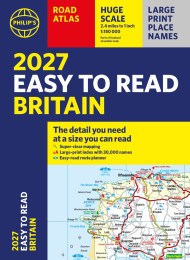
Reviews
Generous-enough scale to enable you to find your way along all the minor roads and lanes.
Great map - easy to use and read. Happy with purchase.
Map detail is very good, perfect size and excellent value.
Clear maps, easy to read, large scale