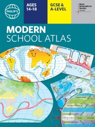
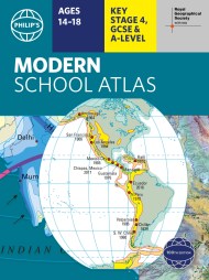
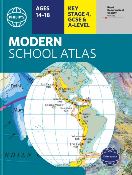
Philip’s RGS Modern School Atlas
On sale
23rd September 2021
Price: £12.99
– Britain’s best-selling school atlas – now in its 100th edition
– Recommended for Key Stage 4, GCSE and A-level in England and Wales (Scottish National Qualifications/Highers) and international schools.
– Fully updated to reflect the latest changes in the curriculum
– Published in association with the Royal Geographical Society
– Combines superb digital maps of Britain and the world with up-to-date thematic maps across a wide range of topics
– Essential learning including political, physical, climate and thematic mapping
– Country-by-country statistics on population, land use, trade, tourism, energy, wealth and much more
– World Themes Section – from volcanoes and earthquakes to population trends, languages and religions, all the key aspects and statistics of geography are explored and explained
– Plus a special section on how satellite imagery is used to interpret global, environmental and urban patterns of change
Britain’s best-selling secondary school atlas, now in its 100th Edition. The contents are divided into sections for ease of use, with each page colour-coded for rapid reference. It contains clear explanations of scale, latitude and longitude, map projections and Geographical Information Systems (GIS).
The physical maps of the United Kingdom and Ireland are accompanied by thematic maps on numerous key social and economic themes. The middle section is made up of World topographical maps, incorporating continental thematic maps on topics such as climate, population and economics, followed by 30 pages of World thematic maps.
Completing the atlas is a section of World social and economic statistics, accompanied by the index to the topographical maps in the atlas, showing letter-figure grid references as well as latitude and longitude co-ordinates.
Available in both hardback and paperback formats, Philip’s Modern School Atlas 100th Edition is an unbeatable combination of highly detailed physical mapping backed up by numerous tables and enlightening thematic maps.